


-
Table of Contents
“LiDAR: Precision Mapping Through Light and Laser.”
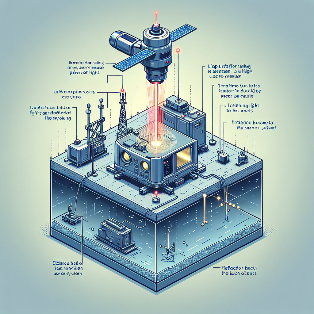
LiDAR, or Light Detection and Ranging, is a remote sensing technology that uses laser light to measure distances and create high-resolution maps of the Earth’s surface. By emitting laser pulses and analyzing the time it takes for the light to return after reflecting off objects, LiDAR systems can generate precise three-dimensional information about the shape and characteristics of the terrain, vegetation, and built structures. This technology is widely used in various fields, including geography, forestry, environmental monitoring, and urban planning, providing critical data for analysis and decision-making.
LiDAR vs. Traditional Surveying: Key Differences and Advantages
LiDAR, or Light Detection and Ranging, has emerged as a transformative technology in the field of surveying, offering distinct advantages over traditional methods. While traditional surveying techniques, such as total stations and GPS, have served the industry for decades, they often come with limitations that LiDAR effectively addresses. One of the most significant differences between LiDAR and traditional surveying lies in the speed and efficiency of data collection. Traditional methods typically require surveyors to physically measure distances and angles, which can be time-consuming, especially over large areas. In contrast, LiDAR systems can rapidly capture vast amounts of data from a distance, allowing for the surveying of extensive landscapes in a fraction of the time.
Moreover, the accuracy and precision of LiDAR technology are noteworthy. Traditional surveying methods can be affected by human error, environmental conditions, and the physical accessibility of the terrain. LiDAR, on the other hand, utilizes laser pulses to measure distances with remarkable precision, often achieving accuracies within centimeters. This level of detail is particularly beneficial in applications such as topographic mapping, where even minor discrepancies can lead to significant implications in project planning and execution. Additionally, LiDAR can penetrate vegetation, providing a clear view of the ground surface beneath tree canopies, which is a challenge for traditional surveying techniques that may struggle in densely forested areas.
Another key advantage of LiDAR is its ability to generate three-dimensional models of the surveyed area. Traditional surveying typically results in two-dimensional data representations, which can limit the understanding of complex terrains. In contrast, LiDAR produces rich, three-dimensional point clouds that can be processed into detailed digital elevation models. These models not only enhance visualization but also facilitate advanced analyses, such as flood modeling, infrastructure planning, and environmental assessments. Consequently, the ability to visualize and manipulate data in three dimensions allows stakeholders to make more informed decisions based on comprehensive insights.
Furthermore, the integration of LiDAR with Geographic Information Systems (GIS) enhances its utility in various applications. While traditional surveying data can be incorporated into GIS, the high-resolution datasets generated by LiDAR provide a more robust foundation for spatial analysis. This synergy enables professionals in fields such as urban planning, forestry, and environmental management to leverage LiDAR data for more effective decision-making processes. As a result, organizations can optimize resource allocation, improve project outcomes, and enhance overall operational efficiency.
Cost-effectiveness is another aspect where LiDAR can outshine traditional surveying methods. Although the initial investment in LiDAR technology may be higher, the long-term savings associated with reduced labor costs and faster project completion times can be substantial. Additionally, the ability to collect data more comprehensively means that fewer follow-up surveys are often required, further driving down costs. As industries increasingly recognize the value of LiDAR, its adoption continues to grow, leading to a shift in how surveying is approached.
In conclusion, while traditional surveying methods have their place, the advantages of LiDAR technology are becoming increasingly apparent. From enhanced speed and accuracy to the ability to create detailed three-dimensional models and integrate with GIS, LiDAR offers a modern solution that meets the evolving needs of various industries. As the technology continues to advance, it is likely that LiDAR will play an even more pivotal role in shaping the future of surveying and spatial analysis.
The Evolution of LiDAR: From Early Concepts to Modern Uses
LiDAR, or Light Detection and Ranging, has undergone a remarkable evolution since its inception, transforming from a theoretical concept into a vital tool across various industries. The roots of LiDAR can be traced back to the 1960s when researchers began exploring the potential of laser technology for distance measurement. Early experiments utilized simple laser beams to gauge distances, but it wasn’t until the advent of advanced computing and sensor technology that LiDAR began to take shape as a practical application.
In the 1970s, the first significant strides in LiDAR technology were made, particularly in the field of atmospheric research. Scientists employed laser systems to measure atmospheric properties, such as cloud heights and aerosol concentrations. This early application laid the groundwork for future developments, demonstrating the potential of LiDAR to provide precise measurements over vast distances. As technology progressed, the 1980s saw the introduction of airborne LiDAR systems, which revolutionized topographic mapping. By mounting laser scanners on aircraft, surveyors could capture detailed elevation data over large areas, significantly improving the efficiency and accuracy of land surveys.
Transitioning into the 1990s, the integration of Global Positioning System (GPS) technology with LiDAR systems marked a pivotal moment in the evolution of this technology. The combination allowed for precise georeferencing of the data collected, enabling users to create highly accurate three-dimensional models of the terrain. This advancement opened new avenues for applications in forestry, urban planning, and environmental monitoring. As industries recognized the value of LiDAR, investment in research and development surged, leading to innovations that enhanced the capabilities of LiDAR systems.
The turn of the millennium brought about a significant shift in the accessibility of LiDAR technology. With the advent of more compact and cost-effective sensors, LiDAR became available to a broader range of users, including smaller firms and governmental agencies. This democratization of technology facilitated its adoption in various sectors, from agriculture to disaster management. For instance, farmers began utilizing LiDAR for precision agriculture, allowing them to analyze soil conditions and optimize crop yields. Similarly, emergency responders leveraged LiDAR data to assess flood risks and plan evacuation routes, showcasing the technology’s versatility in real-world applications.
As we moved into the 2010s and beyond, the integration of LiDAR with other technologies, such as Geographic Information Systems (GIS) and machine learning, further expanded its potential. The ability to analyze vast datasets quickly and accurately has transformed industries, enabling more informed decision-making. In urban environments, LiDAR is now instrumental in creating smart city initiatives, where detailed 3D models help planners visualize infrastructure and optimize resource allocation.
Today, LiDAR continues to evolve, with advancements in drone technology allowing for even more efficient data collection. Unmanned aerial vehicles equipped with LiDAR sensors can access hard-to-reach areas, providing high-resolution data for applications ranging from archaeological site analysis to power line inspections. As industries increasingly recognize the value of spatial data, the future of LiDAR appears promising, with ongoing innovations poised to enhance its capabilities further.
In conclusion, the evolution of LiDAR from its early conceptual stages to its current multifaceted applications illustrates the profound impact of technological advancements. As we look ahead, it is clear that LiDAR will continue to play a crucial role in shaping our understanding of the world, driving efficiency and innovation across various sectors.
Understanding LiDAR Technology: Principles and Applications
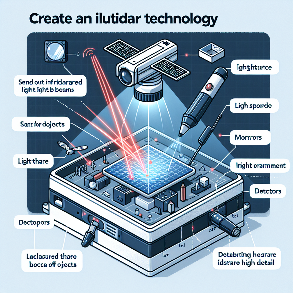
LiDAR, which stands for Light Detection and Ranging, is a sophisticated remote sensing technology that has gained significant traction across various industries due to its precision and versatility. At its core, LiDAR operates on the principle of emitting laser light pulses towards a target and measuring the time it takes for the light to return after reflecting off the surface. This time-of-flight measurement allows for the calculation of distances with remarkable accuracy, enabling the creation of detailed three-dimensional models of the scanned environment. The technology utilizes a combination of laser, GPS, and inertial measurement units to gather data, making it a powerful tool for mapping and analysis.
One of the most compelling aspects of LiDAR technology is its ability to penetrate vegetation, which is particularly beneficial in forestry and environmental studies. By capturing the structure of the forest canopy and the ground beneath, LiDAR provides insights into biomass, tree height, and even species composition. This capability not only aids in sustainable forest management but also enhances our understanding of ecosystems and biodiversity. Furthermore, the data collected can be instrumental in assessing the impacts of climate change, as it allows researchers to monitor changes in forest cover and health over time.
In addition to environmental applications, LiDAR has found a prominent place in urban planning and infrastructure development. City planners and engineers utilize LiDAR data to create accurate topographical maps, which are essential for designing roads, bridges, and buildings. The high-resolution data enables the identification of potential obstacles and the assessment of land suitability for various projects. Moreover, LiDAR can facilitate the analysis of urban heat islands and flood risk areas, thereby informing strategies for climate resilience and sustainable urban development.
The construction industry has also embraced LiDAR technology, particularly in the realm of surveying and site analysis. Traditional surveying methods can be time-consuming and labor-intensive, but LiDAR significantly streamlines the process. By quickly capturing vast amounts of data, it allows for more efficient project planning and execution. Additionally, the integration of LiDAR with Building Information Modeling (BIM) enhances collaboration among stakeholders, ensuring that all parties have access to accurate and up-to-date information throughout the project lifecycle.
Transportation is another sector that benefits from LiDAR technology. In the realm of autonomous vehicles, LiDAR plays a crucial role in enabling real-time perception of the surrounding environment. By providing detailed 3D maps, it allows vehicles to navigate safely and efficiently, avoiding obstacles and adapting to changing conditions. This application not only enhances safety but also paves the way for smarter transportation systems that can reduce congestion and improve overall mobility.
As industries continue to recognize the value of LiDAR, advancements in technology are making it more accessible and affordable. The advent of smaller, lighter sensors and the integration of LiDAR with drones have opened new avenues for data collection, allowing for rapid assessments of hard-to-reach areas. This democratization of LiDAR technology is likely to spur innovation across various fields, from agriculture to archaeology, as professionals leverage its capabilities to gain deeper insights and make informed decisions.
In conclusion, LiDAR technology represents a transformative tool that enhances our ability to understand and interact with the world around us. Its principles of precision measurement and data collection have far-reaching applications, making it an invaluable asset in fields ranging from environmental science to urban planning and beyond. As the technology continues to evolve, its impact on industries and society at large is poised to grow, driving advancements that will shape our future.
Q&A
1. **What is LiDAR?**
LiDAR (Light Detection and Ranging) is a remote sensing technology that uses laser light to measure distances and create high-resolution maps of the Earth’s surface.
2. **How does LiDAR work?**
LiDAR works by emitting laser pulses from a sensor, which then measure the time it takes for the pulses to bounce back after hitting an object, allowing for precise distance calculations.
3. **What are the applications of LiDAR?**
LiDAR is used in various fields, including topographic mapping, forestry, environmental monitoring, urban planning, and autonomous vehicle navigation.LiDAR, or Light Detection and Ranging, is a remote sensing technology that uses laser light to measure distances and create high-resolution maps of the Earth’s surface. It operates by emitting laser pulses and measuring the time it takes for the light to return after reflecting off objects. LiDAR is widely used in various fields, including geography, forestry, environmental monitoring, and urban planning, due to its ability to capture detailed topographical data and generate 3D models. Its precision and efficiency make it a valuable tool for analyzing landscapes and managing natural resources.